Australian Aerial Patterns in Nature

View of King George Sound WA  Departing Flinders Island Bass StraitOutback Queensland RiverKimberley Salt LakesMining Off The Kimberley CoastParallel Sand Dunes Simpson DesertSalt Lakes Desert WAAerial Near Mitchell PlateauAerial Flooded River Qld Tree Pattern Flooded River Systems QldAerial View of Lake Eyre SAAerial River Patterns in Central Australia  fLarge Salt Lake Near Wyndham  Central WA Patterns Between Paradurboo to Exmouth Channel Country An Ancient Flooded PlainEnroute to Horn Island Torres StraitFlood River Tree Pattern Karatha Salt Pans WAGrose Bluff Northern Territory Karatha Coast PatternsLake Amadeus NT Kimberley Coast WALake Eyre North in Flood Lake Eyre Sth Fan Pattern OnslowCoast View King George Sound WA.Landscape of Lake Eyre SALake Macleod Salt Lake WA  Parallel Sand Dunes Simpson Desert Patterns from the River Systems in Central Australia Salt Lakes Central AustraliaWarburton River Diamentina Catchment


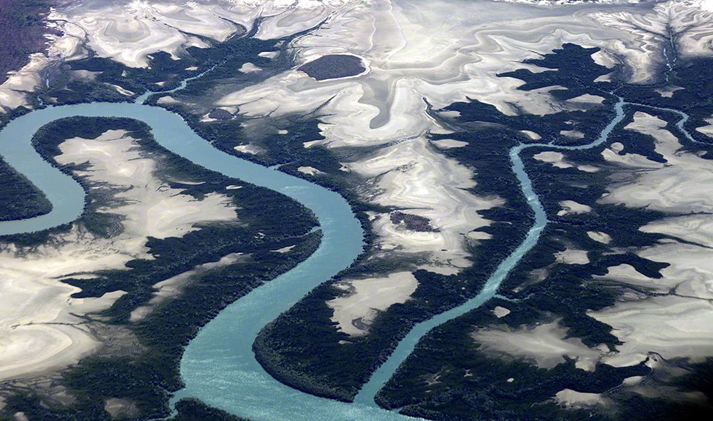
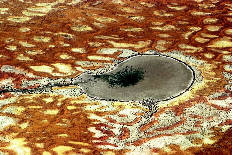
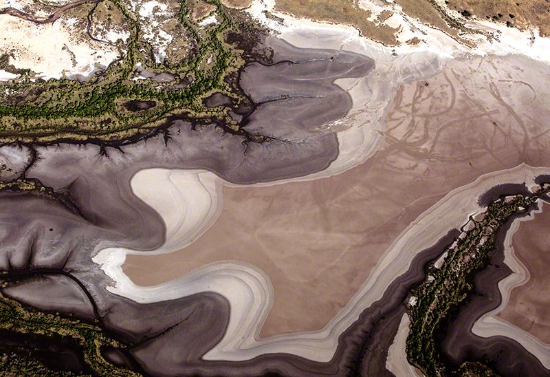
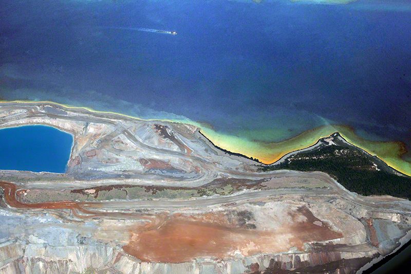
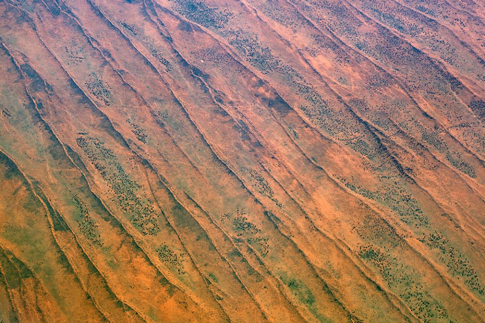
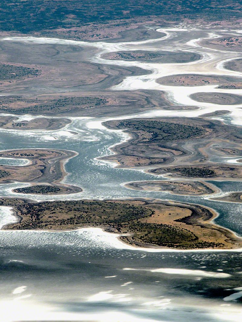
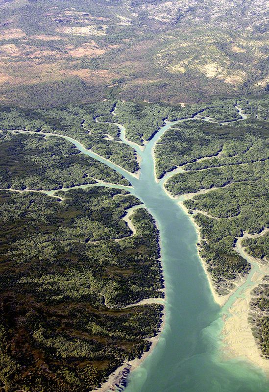
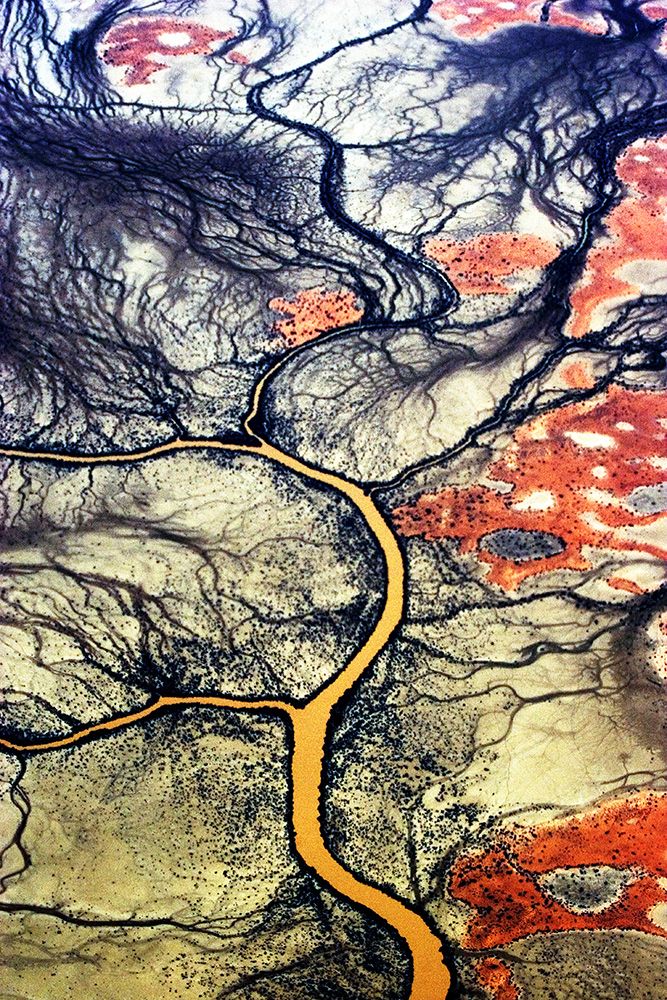
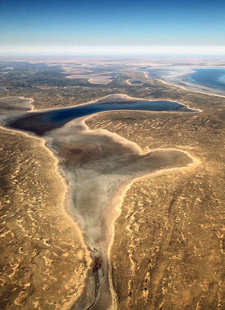
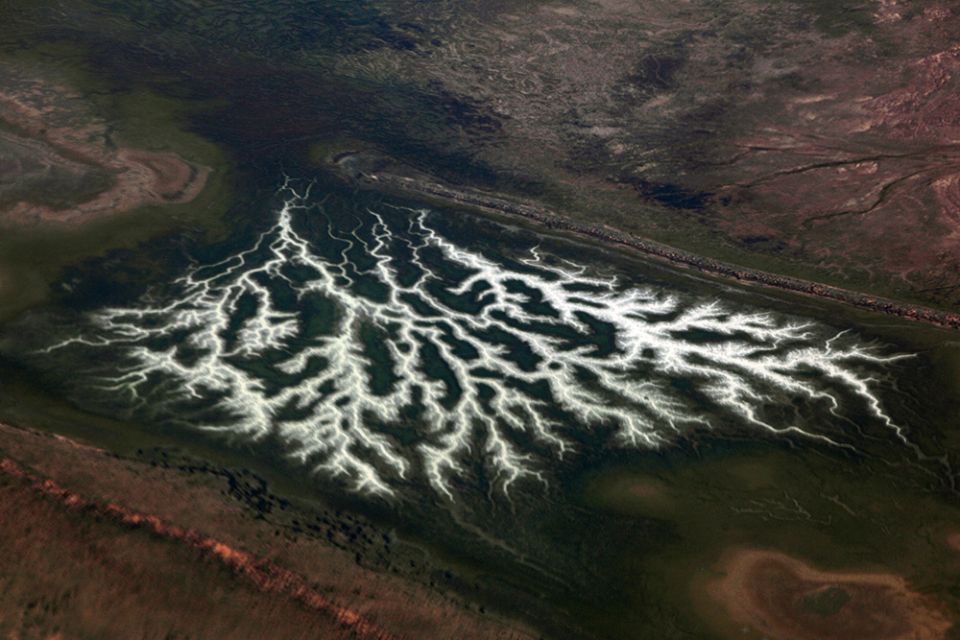
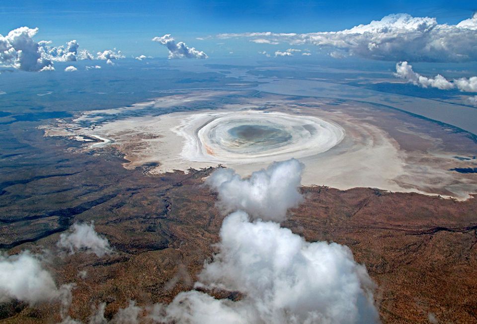
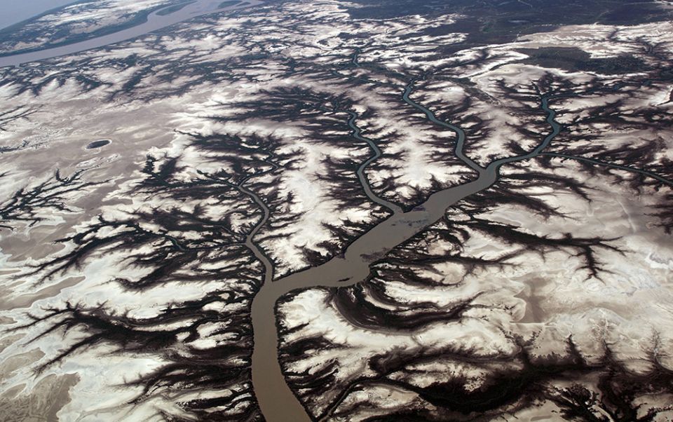
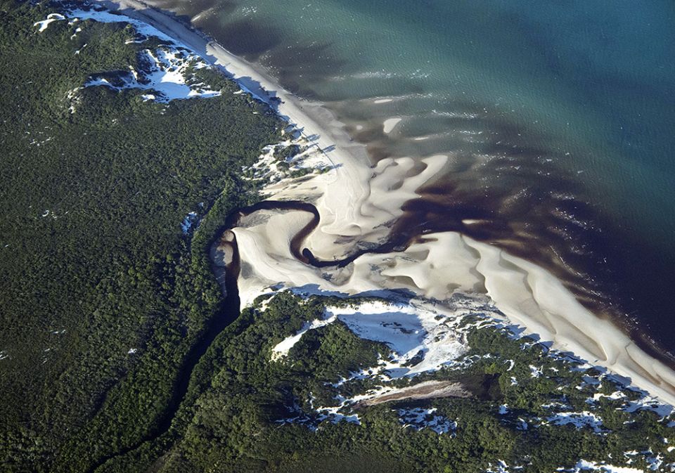
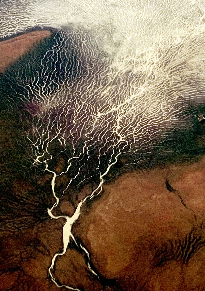
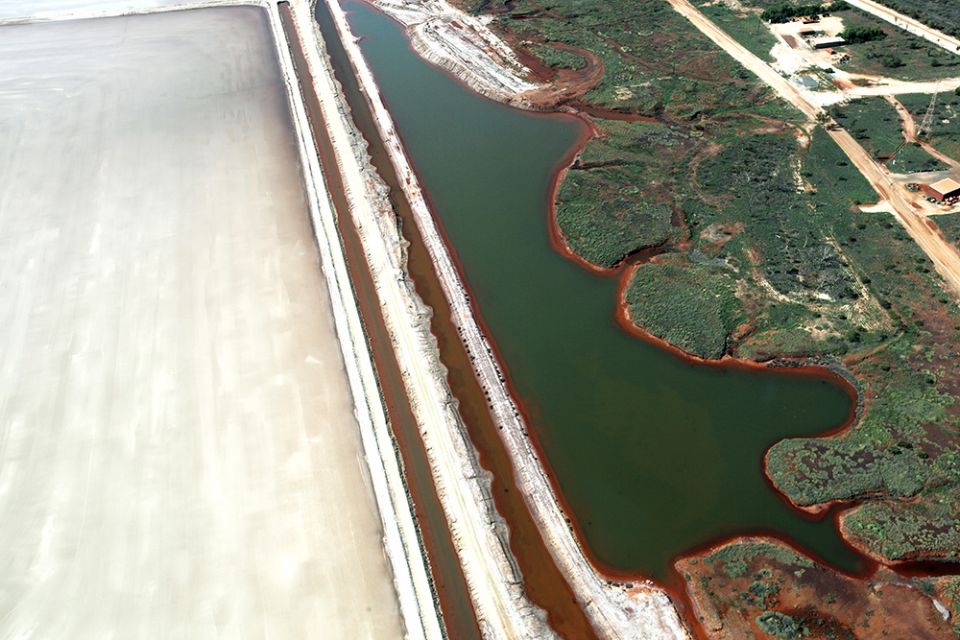
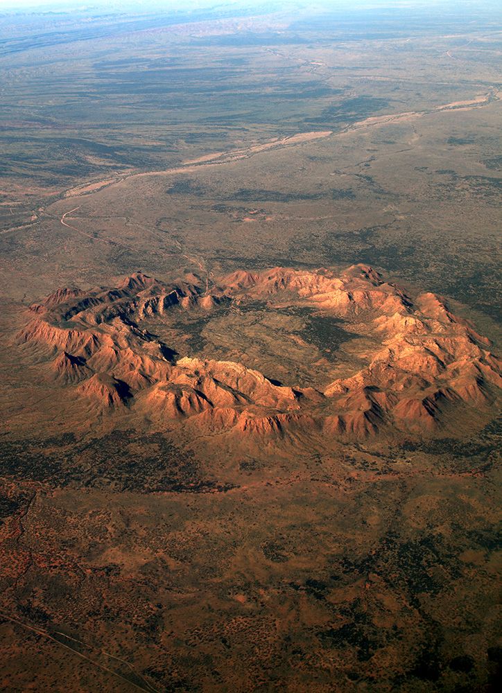
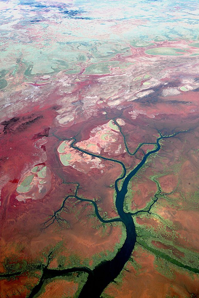
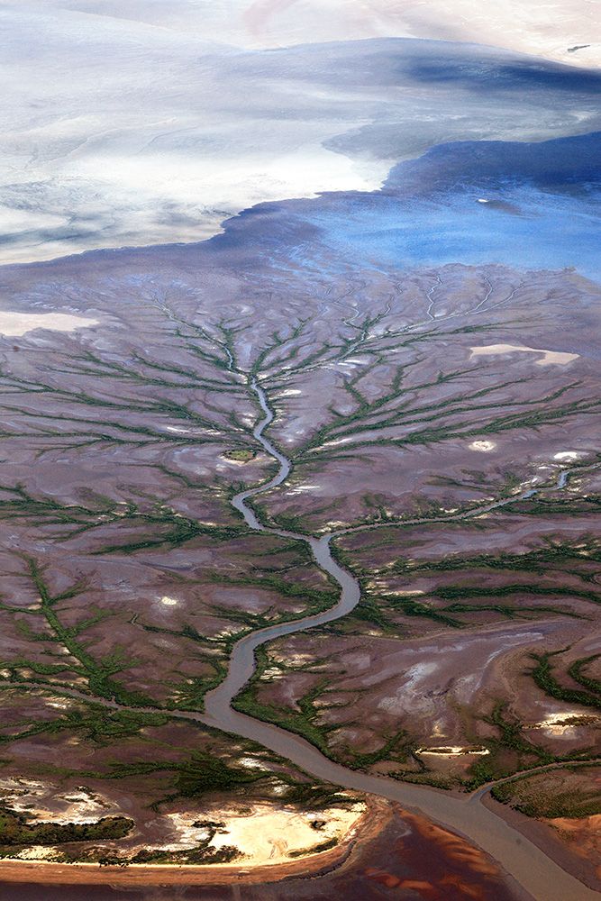
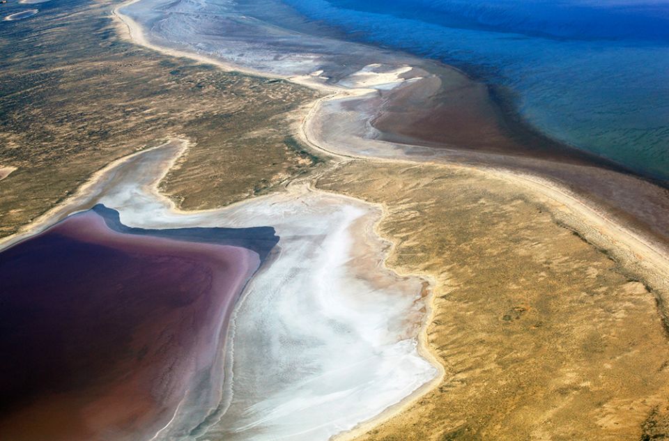
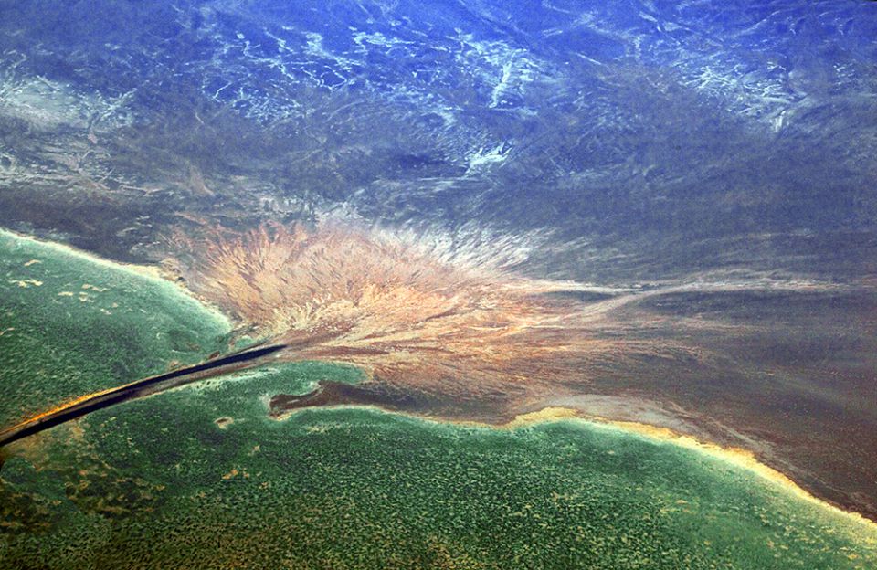
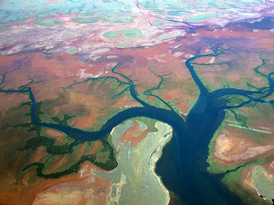
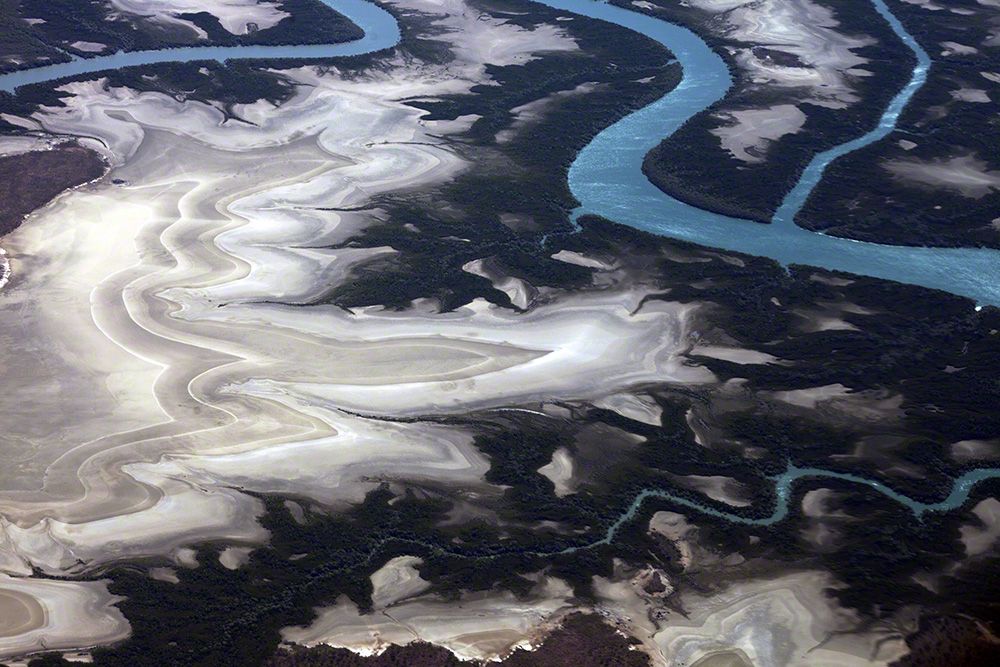
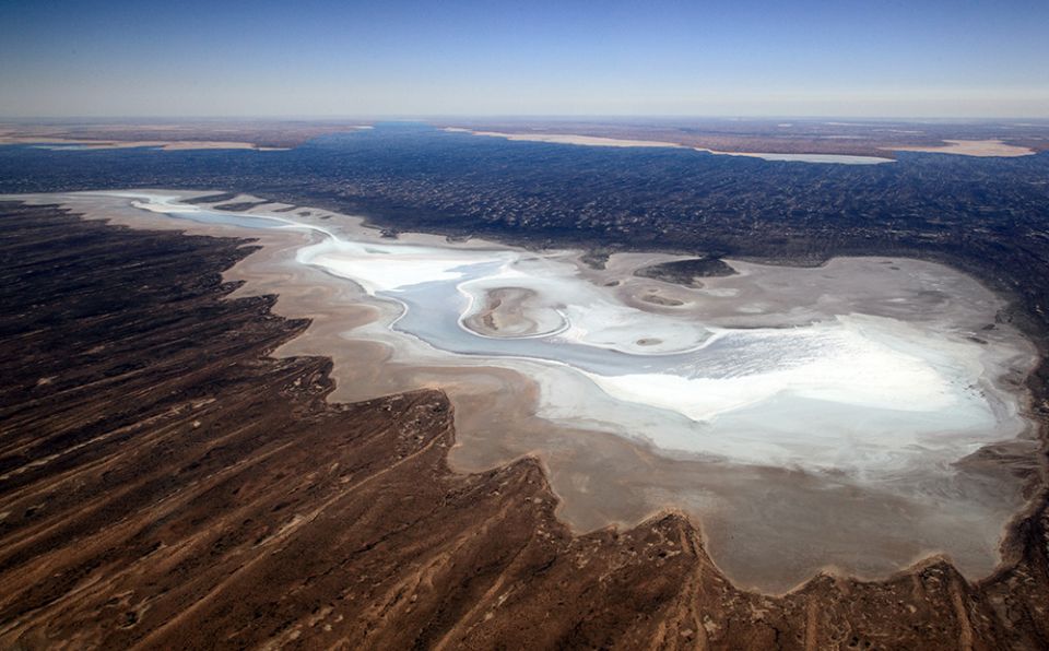
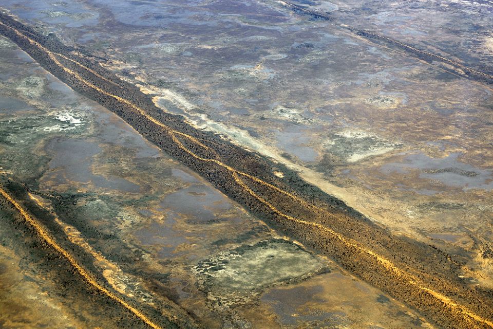
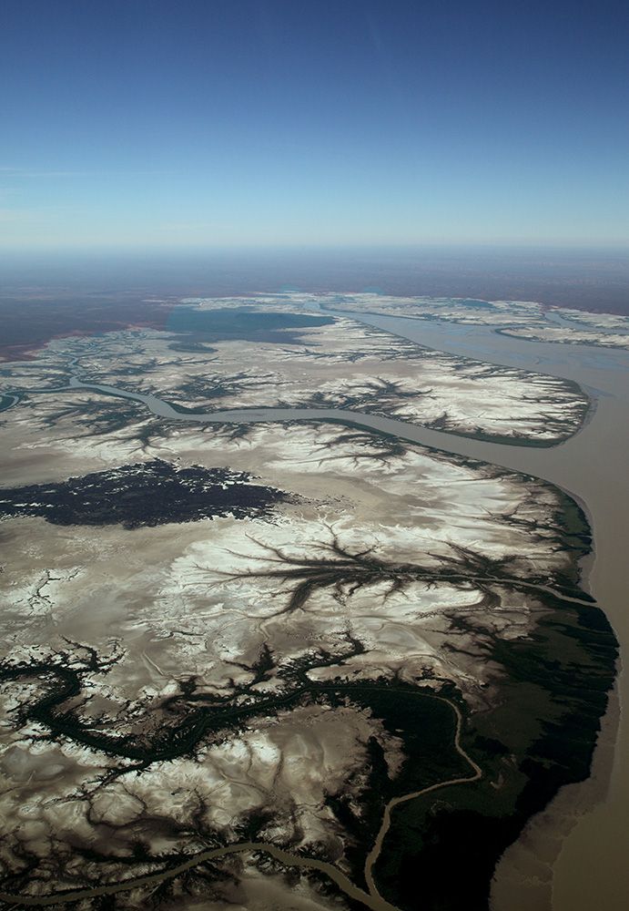
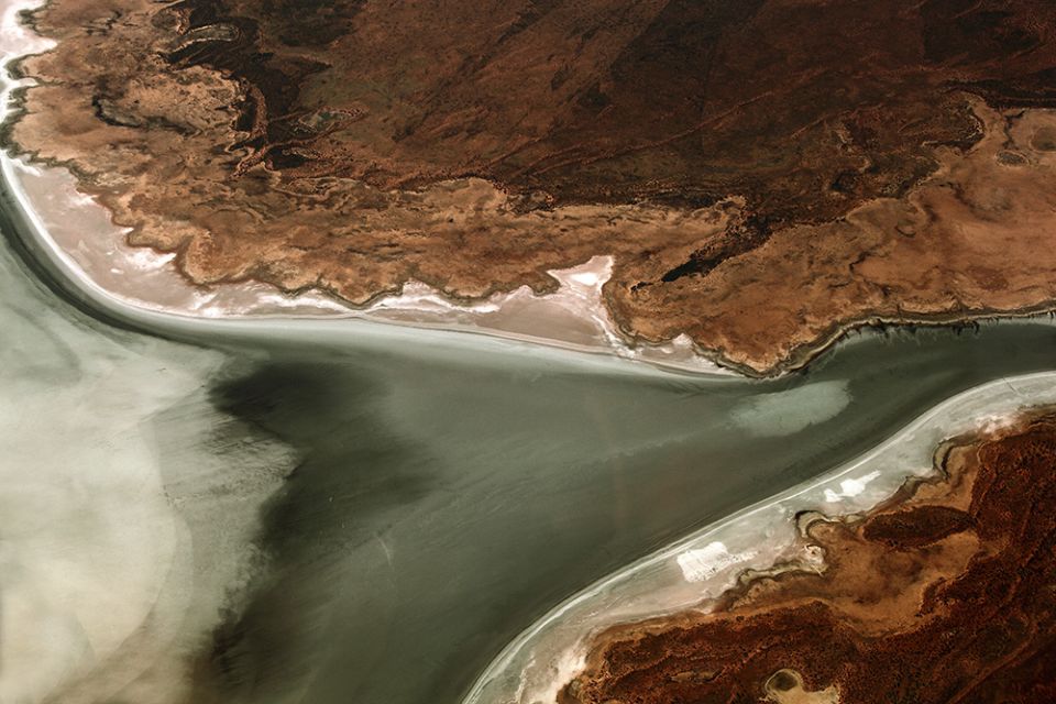
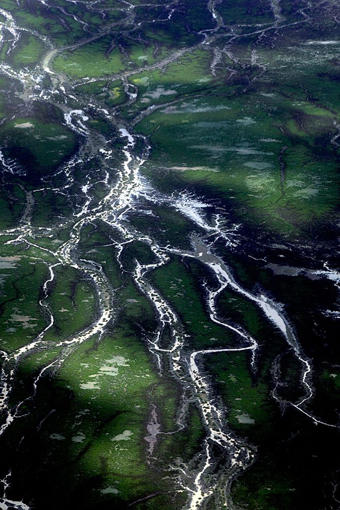
From the air,  you really realize just how massive and diverse the continent of Australia really is.  These aerial images show the patterns and colours that can be seen from above and include flooded river systems, Lake Eyre, the Channel Country, Simpson Desert and its Parallel Sand Dunes (largest parallel dune system in the world), salt lakes and coastal landscapes.


Edit